 Web of Science
 About
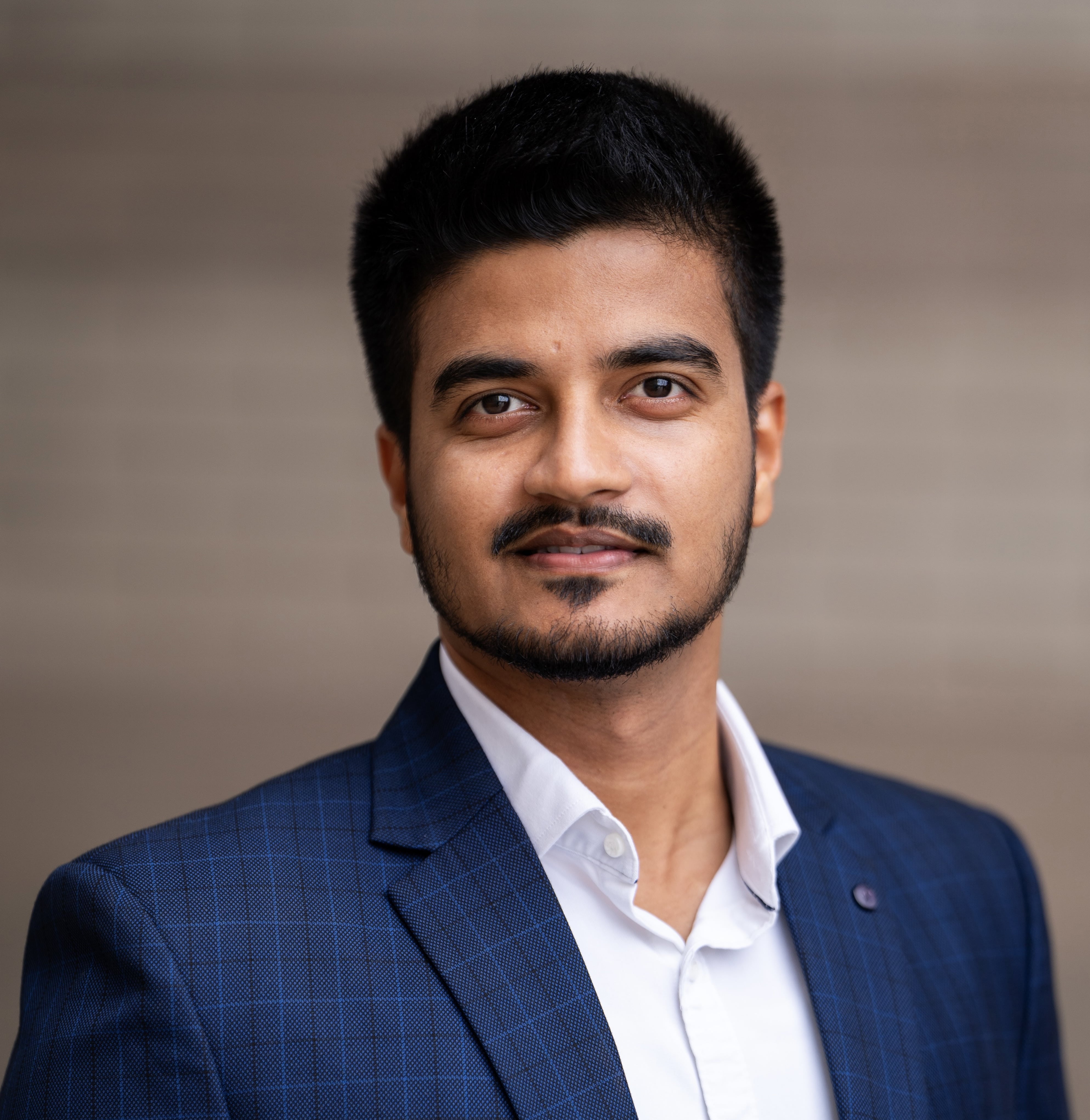
Hi, I’m Pratyush Tripathy, a PhD candidate in Geography at UC Santa Barbara. I study floods, protected forests, and smallholder agriculture, usually in data-scarce settings where the evidence a policy question needs does not yet exist. Much of my work is therefore building that evidence from satellite images and machine learning, so that policy choices can rest on quantitative estimates.
My doctoral research covers three parts of the flood problem. I work on reducing the uncertainty in flood maps built from satellite images, on whether the populations most exposed perceive themselves to be at risk, and on the causal impact of flooding on agricultural productivity. I’m also interested in how far machine learning models can be pushed to support causal analysis, and where those models quietly fail when they meet environmental data.
To learn more, please check my Research and Publications, or read about how I got here.
Recent Work
- Tripathy, P., Upadhyay, S., Alegbeleye, O. M., Senkardesler, E., Pingali, D., Goddard, E., Thaker, J., Leiserowitz, A., & Marlon, J. R. (2026). National-scale mapping locates the mismatch between perceived and assessed flood risk in India. EarthArXiv. https://doi.org/10.31223/X5WZ38
- Anaya, J. A., Montero, D., Tripathy, P., Schroeder, W., Hantson, S., Bastarrika, A., & Mahecha, M. D. (2026). Assessing fire-exposed vegetation in the Orinoco Basin using Sentinel-2 and deep learning. Sustainable Geosciences: People, Planet and Prosperity, 100031. https://doi.org/10.1016/j.susgeo.2026.100031
- Agrawal, A. & Tripathy, P. (2026). Global Flood Mapper v2: Open-Access Flood Mapping and Exposure Assessment with Sentinel-1 SAR. https://doi.org/10.31223/X54482
- Tripathy, P., Baylis, K., Wu, K., Watson, J., & Jiang, R. (2026). Zero-shot inference strategies for smallholder (< 0.1 ha) agriculture field delineation with the Segment Anything foundation model. Science of Remote Sensing, 100425. https://doi.org/10.1016/j.srs.2026.100425